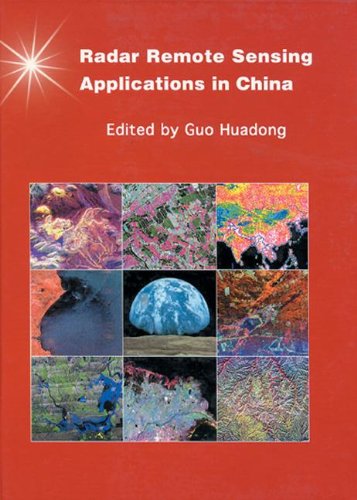
Applications of Radar Remote Sensing in China

Buy online ($)
Type
Book
Authors
ISBN 10
0415256763
ISBN 13
9780415256766
Category
G. I. S & Remote Sensing
[ Browse Items ]
Publication Year
2001
Publisher
Pages
256
Description
Over the last decade the field of spaceborne imaging radar remote sensing has advanced to the point where many new applications have become possible. Synthetic aperture radar with its all-weather and day-night capability has become one of the most sophisticated technologies for earth and planetary observation. The deployment of advanced experimental systems has allowed radar imaging data to feed into the analysis of environmental and geophysical problems: whether agricultural, land use, forestry, hydrology, geology, mineral exploration, urbanization, archaeology, natural hazards, oceanography or global change.This atlas provides a set of examples of high quality remote sensing work carried out with this leading technology in China, under the auspices of the Institute of Remote Sensing Applications of the Chinese Academy of Sciences, and in collaboration with the USA, European Space Agency, Japan and the former USSR. These examples are discussed, compared with ground truth, and analyzed. It includes applications, data analysis, algorithm development, modeling and backscatter behavior analysis. - from Amzon
Number of Copies
1
| Library | Accession No | Call No | Copy No | Edition | Location | Availability |
|---|---|---|---|---|---|---|
| Main | 86 | 1 | Yes |


